 |
 |
 |
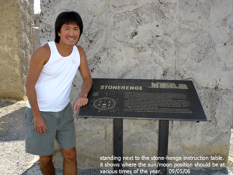
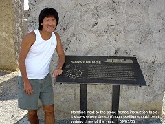
| standing
next to the stone-henge instruction table. it shows where the sun/moon
positions should be at, various times of the year |
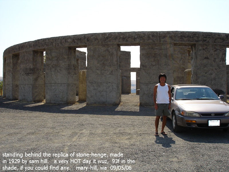
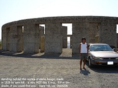
standing by the replica stone-henge, completed in 1929. it wuz a
very HOT day here: 93f in the shade, if you could find
any. 09/05/06 |
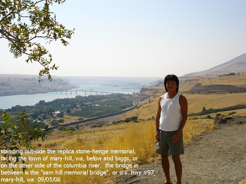
standing
out-side the stone-henge memorial, the city of mary-hill lies
below, biggs oregon across the river |
 |
 |
 |
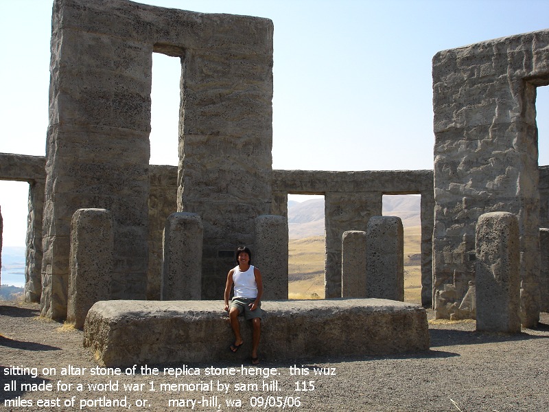
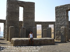
| sitting
on altar stone of the replica stone-henge. this is 115 miles east
of portland, or
|
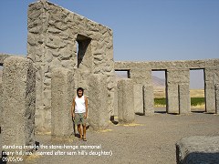
standing
in-side the stone-henge memorial. mary-hill is named
after the city's founder, sam hills' daughter. |
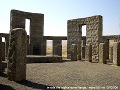
in-side
the stone-henge memorial 09/05/06 |
 |
 |
 |
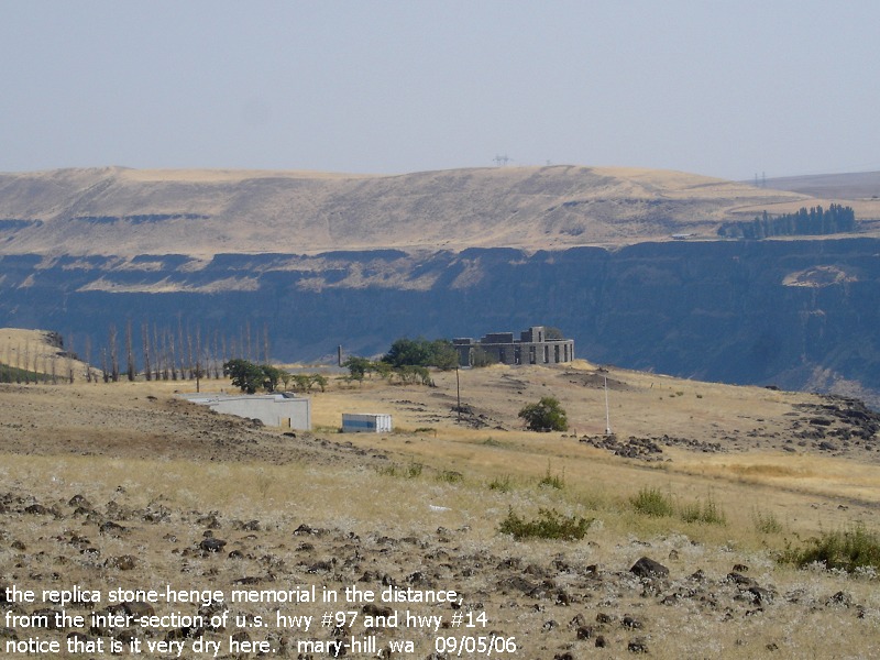
| the
replica stone-henge in the distance. picture taken from the
inter-section of us hwy #97 and washington hwy #14 |
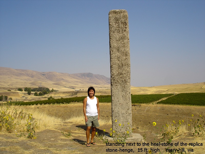
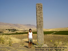
standing
next to heel stone, 15 ft. high. located east of the main
stone-henge memorial |
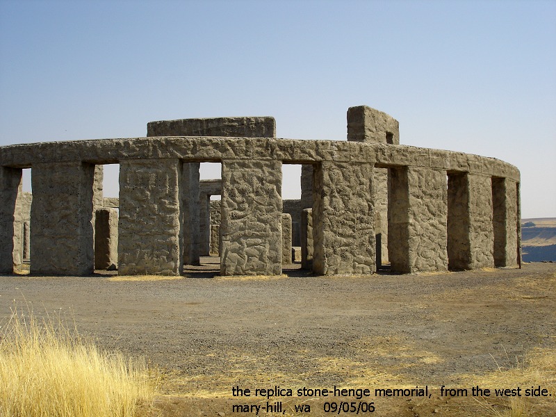
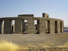
looking
at the stone-henge from the west. mary-hill, wa 09/05/06 |
 |
 |
 |
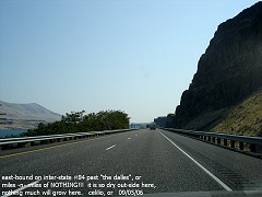
| east-bound
on inter-state #84 past "the dalles", or. miles -n- miles of
NOTHING!! it is so dry out-side here, nothing really grows here. |
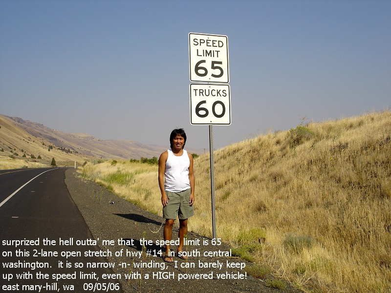
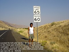
it
is difficult to keep up with the speed limit, even with a HIGH powered
vehicle. this 2-lane road is NOT that straight! |
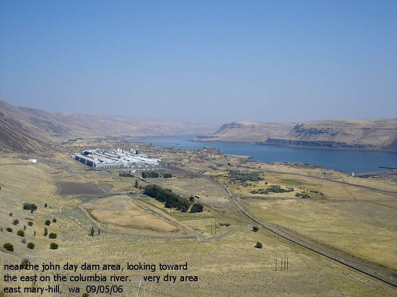
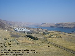
near
the john day dam, looking towards the east on the columbia river.
east mary-hill, wa 09/05/06 |